The Ultimate 14-Day South Island Wilderness Circuit
By Field Editor Liam Scott • Published November 18, 2024 • 9 min read
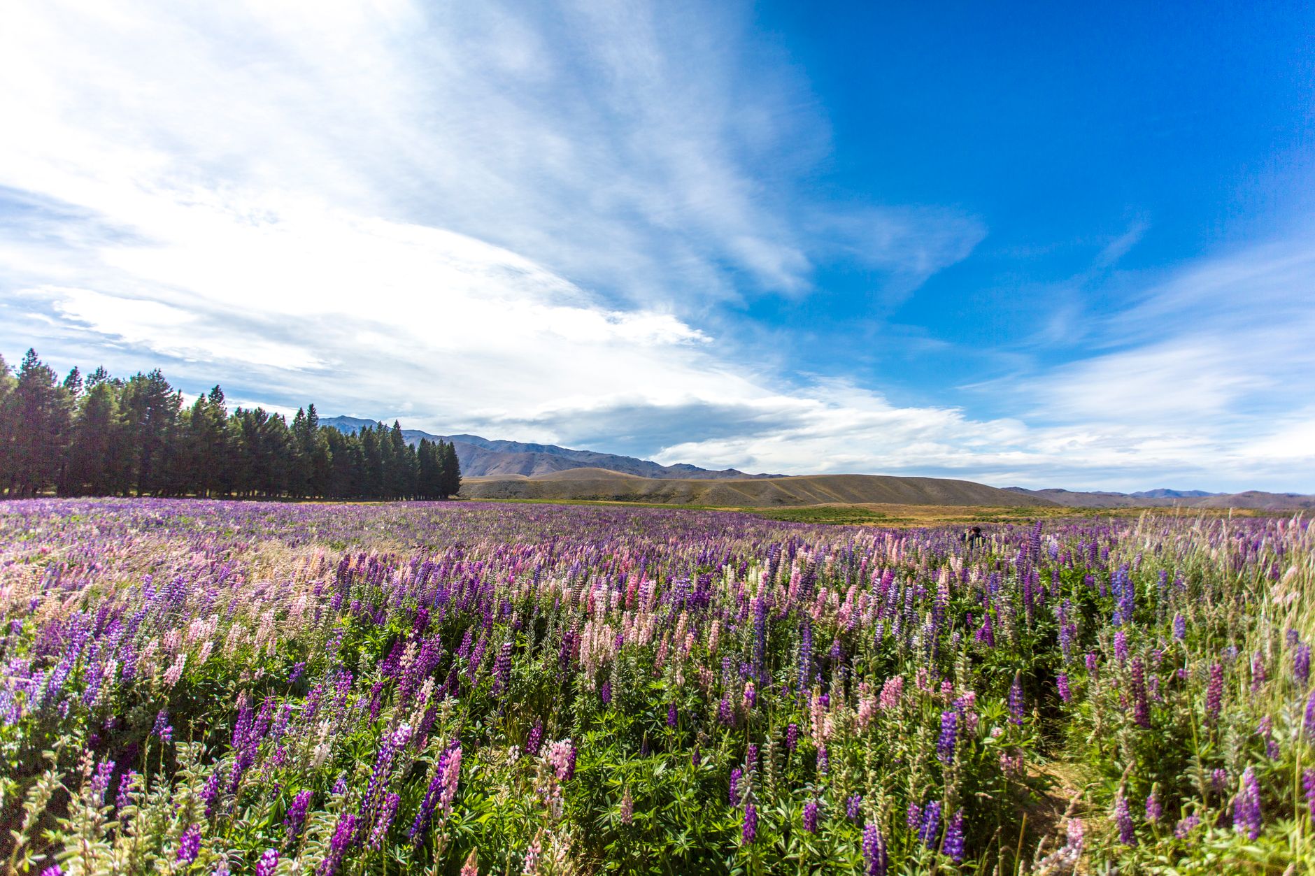
Few landmasses on earth pack the dramatic geologic diversity of Te Waipounamu — New Zealand's South Island. Within a single day's drive, you can transition from the braided shingle rivers of Canterbury across sheer glaciated passes, descend into ancient temperate rainforests of the West Coast, and settle beside deep sapphire fiords.
However, the rapid growth in motorhome holidaymakers has turned the traditional ring route into a potential bottleneck during peak southern hemisphere summer (December through February). This 14-day blueprint prioritizes early starts, scenic alternate byways, and Department of Conservation (DOC) heritage sites that preserve the silence of the wilderness.
Days 1 to 4: The Great Alpine Transverse
Begin your circuit in Christchurch. Rather than heading straight south on State Highway 1, point your vehicle westward toward Arthur’s Pass National Park (State Highway 73). Stop at Castle Hill (Kura Tawhiti) at dawn when limestone monoliths stand silhouetted against the Southern Alps.
- Arthur’s Pass Village: Take the steep climb up to Devils Punchbowl Waterfall (1 hour return) to witness a 131-meter cascade framed by native beech and mosses. Keep an eye out for the Kea — the world's only alpine parrot — but avoid feeding or interacting with them.The West Coast Descent: Descend the Otira Viaduct into Hokitika. Stock up on fresh supplies and petrol here; services on the coastal highway are spaced widely.
"The secret to South Island driving isn't covering maximum kilometers; it is leaving sufficient buffer for mountain weather changes and roadside river swims."
Days 5 to 9: Glacial Valleys, Wanaka & Cardrona
Continue south through Franz Josef and Fox Glacier villages. If you wish to witness glacier terminology up close, the Peters Pool walk or the Lake Matheson mirror loop at first light provide extraordinary views of Aoraki Mount Cook and Mount Tasman without commercial flights.
Traverse the Haast Pass — one of New Zealand's most remote alpine corridors. Stop at Fantail Falls and the Blue Pools of Haast (check current DOC footbridge access advisories before setting out). Transition into Central Otago through Wanaka, taking time to hike Roy’s Peak or the less crowded Mount Iron trail.
Days 10 to 14: Fiordland & The Catlins Return
Te Anau serves as your gateway to Fiordland National Park. Dedicate an entire day to the Milford Road (State Highway 94). The drive itself is an international treasure: passing through the Eglinton Valley, mirror lakes, and the granite engineering marvel of the Homer Tunnel before plunging into Piopiotahi (Milford Sound).
To conclude your circuit back toward Christchurch, bypass the crowded highway via the Southern Scenic Route through The Catlins. Here, petrified forests at Curio Bay and yellow-eyed penguin habitats at Nugget Point reveal the unvarnished maritime majesty of the southern edge of New Zealand.
Need Turn-by-Turn GPS Co-ordinates for this Route?
We offer fully verified campervan itineraries with verified freedom camping spots, fuel stops, and offline map layers.
View Itinerary Options